Central Vietnam weather is dry and hot with Southwest wind. With a long coastline, the weather is characterized by cool ocean breeze. Because the land area is limited by Truong Son Mountain range, the region has two distinct seasons: dry and rainy.
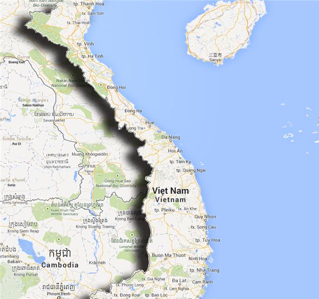
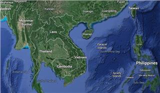
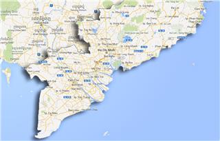
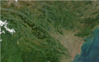
To the north of Central Vietnam are Red River Delta and Central Uplands; to the south are provinces of Binh Phuoc, Dong Nai, and Vung Tau; to the east is East Sea; and to the west are Laos and Cambodia. The region is surrounded by mountain ranges stretching from the west to the est. For this position, the climate in Central Vietnam is harsher than that in Northern Vietnam and Southern Vietnam. From north to south, Central Vietnam has two main sub-regions including coastal and highland with plenty of mountains and rivers, creating beautiful landscapes in this region. Thus, weather in these regions is different from each other from the east to the west and from the north to the south.
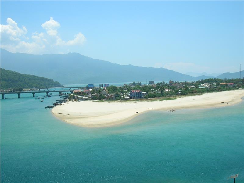
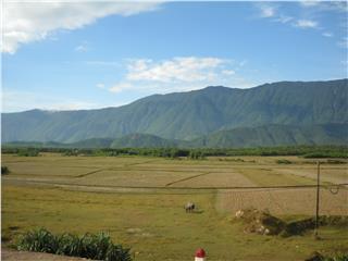
In North Central Coast, the area consists of six provinces in the north of Hai Van Pass. These provinces stretch from the east to the west, forming a narrow central part. The narrowest area in the region is about 50 km wide (in Quang Binh Province). North Central Coast is characterized by mountain ranges in the west, especially northern part of Truong Son Mountain range (Annamite Range) with rugged terrain, and plain areas with an area of over 6000 sq. km. Among those plains, delta in Thanh Hoa, the largest delta in Central Vietnam, obtains sediment from Ma River and Chu River, accounting for nearly half of the area. As being located near Northern Vietnam most, weather in North Central Coast is often affected by the weather in Northern Vietnam. In winters, the region witnesses the northeast monsoon that carries steam from the ocean. Thus, cold and rainy weather is typical in the part in winters. Yet, the difference between the weather in Central Vietnam and that in Northern Vietnam in winters is that winter in the former is wet, while the latter is dry. In summers, North Central Coast is described with dry and hot weather, as Foehn wind from Laos affects this region. Temperature in summers may reach 400C in the peak, while the humidity is quite low.
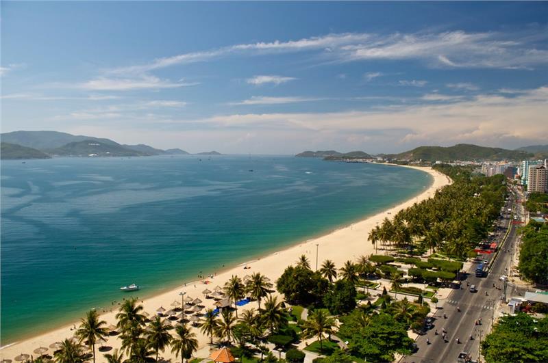
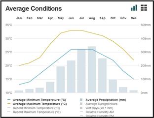
In South Central Coast, there are seven coastal provinces and a municipality Da Nang in the south of Central Vietnam (from the south of Hai Van Pass). This region is wider at this point than in the North Central Coast. The region is less impacted by the northeast monsoon, as it is prevented by Bach Ma Mountain range. Instead, in summer, the region is affected by the southwest monsoon from Gulf of Thailand passing over Truong Son Mountain range, causing a hot and dry weather in the entire area. The temperature ranges from 210C to 320C all year round. The highlight point in Central Vietnam weather is that rainy season and dry season do not occur at the same period in year, like weathers in Northern Vietnam and Southern Vietnam.
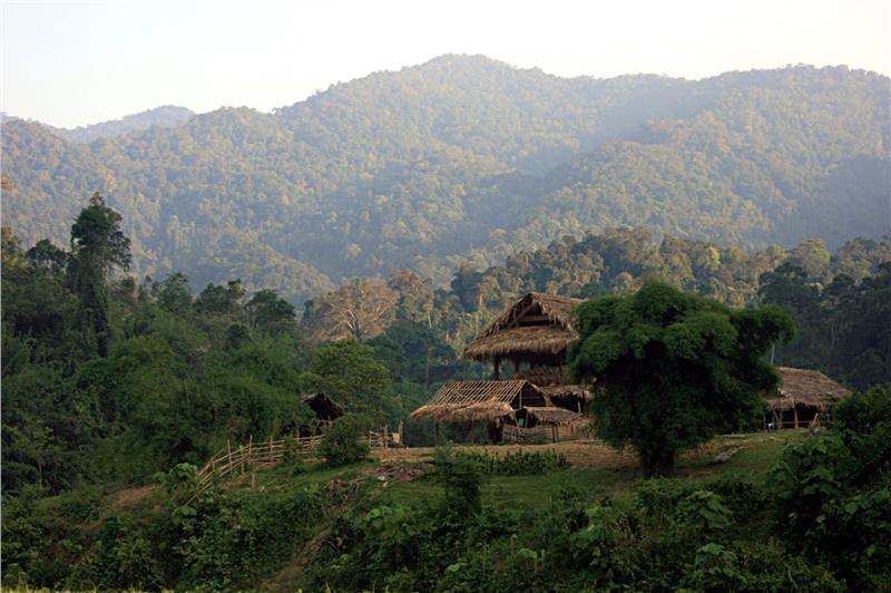
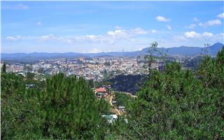
In Central Highlands, it includes five inland provinces. Almost of this region is mountainous, surrounded by high mountain ranges and massifs, especially southern part of Truong Son Mountain range. Central Highlands can be divided into three sub-regions of terrain and climate, including North Highlands (Kon Tum and Gia Lai), Central Highlands (Dak Lak and Dak Nong), and South Highlands (Lam Dong Province). Central Highlands has a lower altitude and higher temperature than other sub-regions. Influenced by equatorial climate, the annual average temperature is about 200C with moderate climate all year round. Climate in Central Highlands has two distinct seasons: dry season and rainy season. Thus, this region has an ideal weather in comparison to the general weather in Vietnam.
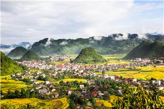
In short, Vietnam weather in Central Vietnam is characterized by two different seasons during a year: rainy season and dry season. It is difference in topography that forms distinct climate in this region, and create beautiful landscapes.
