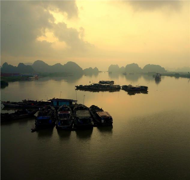
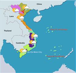
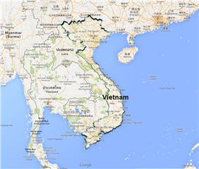
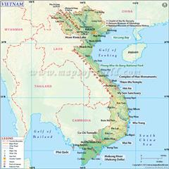
With regard to Haiphong geography, this is the largest port city and the third biggest city of Vietnam after Ho Chi Minh City and Hanoi capital. The city is located in the favorable position to promote transportation.
Area: 1.507,57 sq. km
Administration: Hong Bang, Le Chan, Ngo Quyen, Kien An, Hai An, Do Son, Duong Kinh, An Duong, An Lao, Bach Long Vi, Cat Hai, Kien Thuy, Tien Lang, Thuy Nguyen, Vinh Bao
Haiphong geographical position
Haiphong is a coastal city in the downstream of Thai Binh River system, which belongs to Red River Delta geography. The city has the geographical coordinates from 20°35' to 21°01' north latitude and from 106°29' to 107°05' east longitude. The city shares borders with Quang Ninh province in the northeast, Hai Duong province in the northwest, Thai Binh province in the southwest and the South China Sea in the east.
The four extreme points of Haiphong includes:
- The North Pole: Lai Xuan commune, Thuy Nguyen district
- The West Pole: Hiep Hoa commune, Vinh Bao district
- The South Pole: Vinh Phong commune, Vinh Bao district
- The East Pole: Bach Long Vi island
Haiphong terrain
The terrain in the north of Haiphong is midlands alternating with plains and hills. The mountainous area of the city accounts for 15% the total area. The mountains here run in the direction from the northwest to the southeast including Phu Lien, Xuan Son, Xuan Ang, etc.
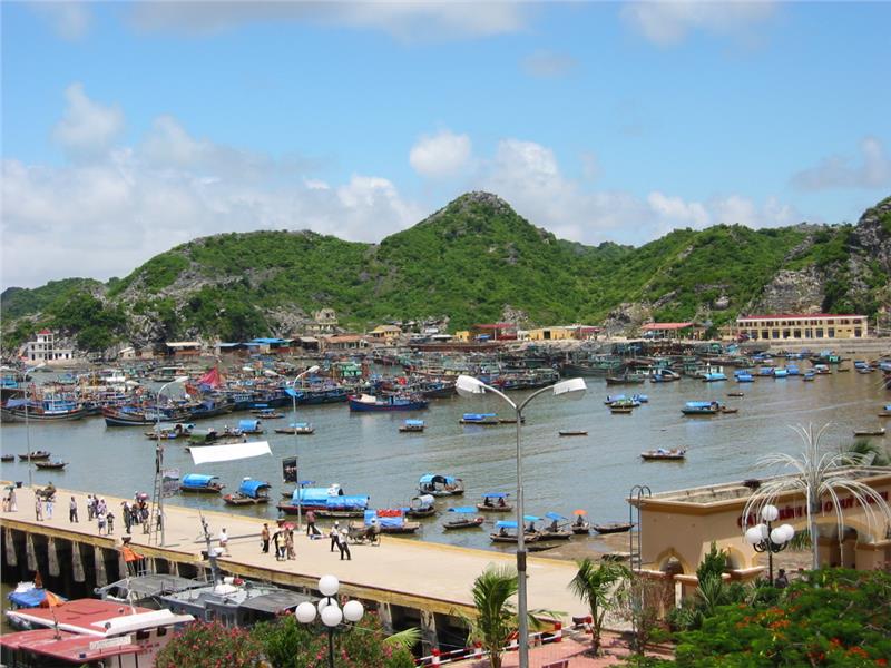
The topography of Haiphong in the southern part is quite low having the altitude from 0.7 to 1.7 meters above the sea level. In the coastal area, Cat Ba Island is considered as the pearl of Haiphong. This is a beautiful and the largest island in a cluster of over 360 small and big islands. Cat Ba Island is in the elevation of 200 meters above the sea level with the total area of 100 km2. In addition, Bach Long Vi is another beautiful island of the city which is pretty flat and has a plenty of white sands.
Haiphong weather
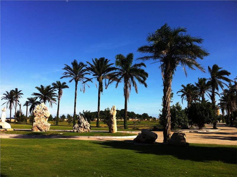
Climate in Haiphong is the humid subtropical climate which is characterized for the northern Vietnam climate. Haiphong has four distinct seasons in one year with hot and humid summers and old and dry winters.
Temperature: The average temperature in summer is 32.5 °C and in winter is 20.3 °C. The annual average temperature of the city is 23.9 °C. Due to adjacent to sea, Haiphong is warmer in winter and cooler in summer in comparison to Hanoi.
Rainfall: The annual average rainfall is 1,600 - 1,800mm.
Humidity: The average humidity of air is 85 - 86 %, the highest number is in July to September and the lowest one is in January and December.
Haiphong hydrology
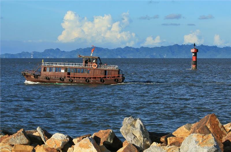
Haiphong has a dense system of rivers with the average density of 0.6 - 0.8 km/km2. The city has 16 main rivers with the total length of 300 km including Thai Binh, Lach Tray, Cam, Da Bac - Bach Dang, and so on. The slope of these rivers is quite small mainly flowing in the direction from the southeast to the northwest. This is a place where all downstream of Thai Binh River flowing into sea. The river system creates fertile basin and abundant freshwater to serve the activities of local people. Except from a diverse system of rivers, Haiphong also has the coastline of 125 km in length with many beautiful beaches.
