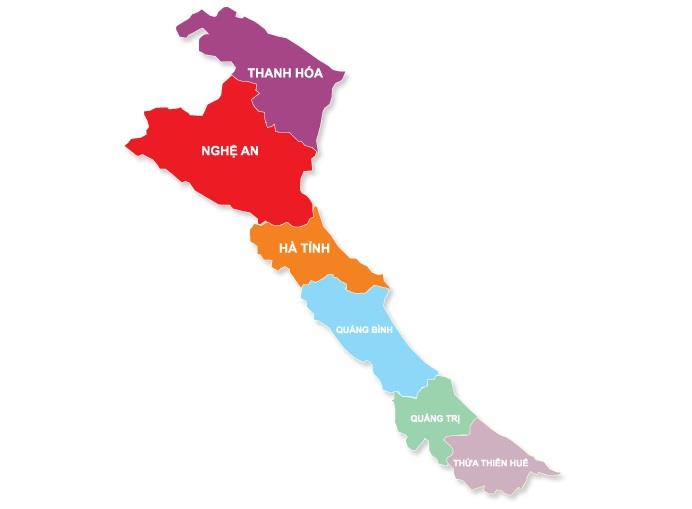
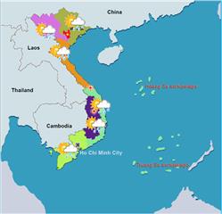
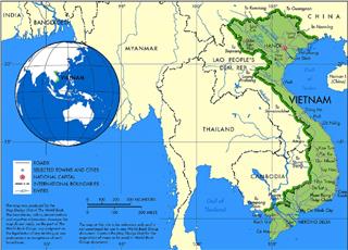
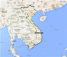
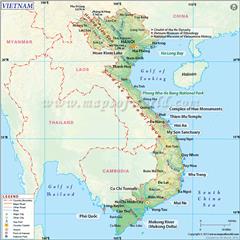
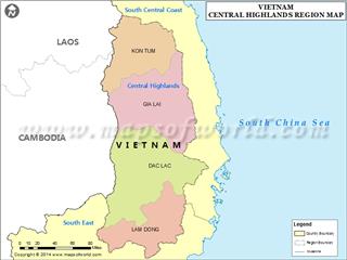
In term of North Central Coast geography, the region consists of six provinces and is adjacent Red River Delta to the north, People’s Democratic Republic of Laos to the west, South Central Coast to the south, and South China Sea to the east.
Situated in the Central of Vietnam, North Central Coast owns a natural area of 51,524.6 km2 accounting for 15.5% of the country's natural area and 35.5% of the region’s area. It is one of three sub-regions in the Central (the two other regions are South Central Coast and Central Highlands).
Geographical location
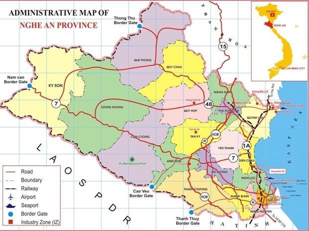
The region is adjacent Red River Delta economic zone to the north, People’s Democratic Republic of Laos to the west, South Central Coast economic zone to the south, and South China Sea to the east.
In term of North Central Coast geography, the region consists of 6 provinces, namely Thanh Hoa, Nghe An, Ha Tinh, Quang Binh, Quang Tri and Thua Thien - Hue. North Central region takes a transitional role between economic regions in North and South. The west is the slope of Truong Son East, adjacent Laos with a 1,294 km long border. Here are also important border gates: Quan Hoa, Lang Chanh (Thanh Hoa), Ky Son (Nghe An), Huong Son (Ha Tinh), Lao Bao (Quang Tri) facilitating economic exchanges with Laos and other Southeast Asian countries on the continent. The east overlooking South China Sea with a coastal road of 700 km length and many deep-water ports conveniently forms the port. In particular, located on the trans-Vietnam traffic, Quang Binh, the narrowest part in the region (with 50 km only) has facilitated economic exchanges with the north and south economic regions.
Terrain
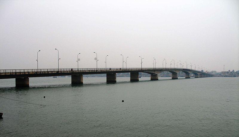
The Central Coast in general and North Central Coast topography in particular is gradually lower from the hilly area to the midland, sweeps down to the coastal plain and to coastal islands as the end. The region where Truong Son range starts owns a quite large slope. The territory has a narrow width and complex terrain by rivers and mountains overlooking into the sea, such as Hoang Mai (Nghe An), Hong Linh range (Ha Tinh), Ma River (Thanh Hoa), Ca River (Nghe An), Nhat Le River (Quang Binh)...The structure of terrain starts with sand dunes, coastal sands, a narrow strip of plain and ends with midland belonging to North Truong Son mountain range. Generally, topography of North Central Coast is fairly complex. The majority of the territory is mountain and hill overlooking the sea with high slope and fast flowing water, often causing sudden floods.
Mineral Resources
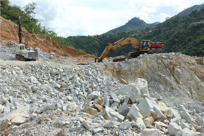
North Central Coast mineral resources are diverse and varied. Compared with the whole Central region, North Central Coast accounts for 100% reserves of chromites, 20% of iron, and 44% of limestone and cement reserves. In addition, minerals owning high economic value in the region include construction limestone, iron ore in Thach Khe, glass sand in Quang Binh, Quang Tri, Thua Thien Hue, clay brick, titan in Quang Tri, stones in Ha Tinh, aluminum in Nghe An, and chromites in Thanh Hoa. Besides, there are also a large number of other minerals, such as paving stones and kaolin...
Marine Resources
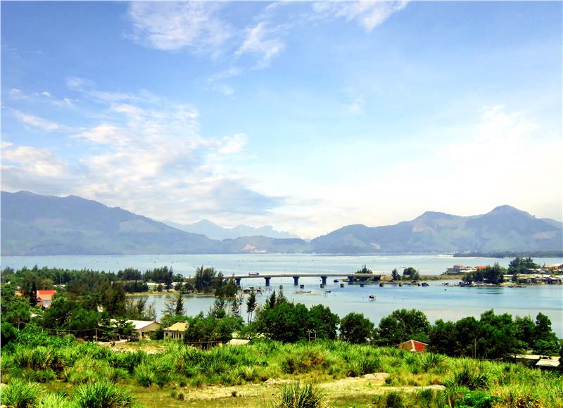
Owning a long coastline with many straits, estuaries and bays, the region is actually favorable for the development of marine tourism economy, marine transportation, and major ports. Besides, coastal region offers many salt fields with good quality, such as Sa Huynh - Quang Ngai, Thanh Hoa, Nghe An, Ha Tinh. These are great potential resources need to be exploited. In addition, the sea is a room of many islands and archipelagos. It also processes many valuable fish species such as herring, sardines, barracuda, mackerel, sharks..., creating favorable conditions for the development of fishing and offshore fishing.
Additionally, thanks to prime geographical location of North Central Coast, it is home to many beautiful beaches, such as Sam Son, Cua Lo, Thien Cam, Nhat Le, Cua Tung, Thuan An, Lang Co…The region also retains some famous national parks, namely Ben En National Park, Pu Mat National Park, Vu Quang National Park, Phong Nha - Ke Bang National Park, and Bach Ma National Park…; many wonderful natural scenery: rivers, mountains, forests, seas, lakes, and lagoons. In addition, a long history of building and defending the country has left many valuable historical, cultural and architectural relics (with 144/1221 ranked relics).
