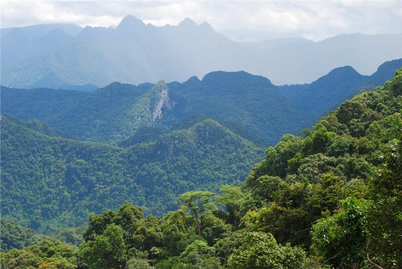
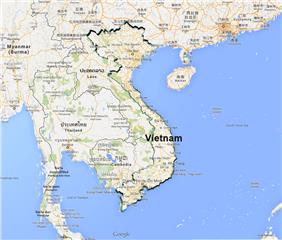
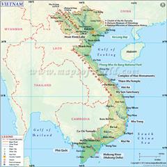
Phong Nha Ke Bang is a national park of Vietnam. Having over 300 impressive caves, underground rivers, precious flora and fauna in Vietnam Red Data Book, Phong Nha Ke Bang geography attracts many expeditions to study and make research about this land.
Area: 1233.26 sq. km
Administration (Communes): Dan Hoa, Hoa Son, Trung Hoa, Thuong Hoa, Tan Trach, Thuong Trach, Xuan Trach, Phuc Trach, Son Trach, Phu Dinh, Hung Trach, Truong Son
Phong Nha Ke Bang geographical position
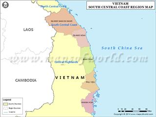
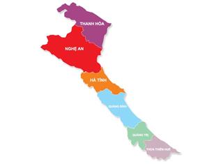
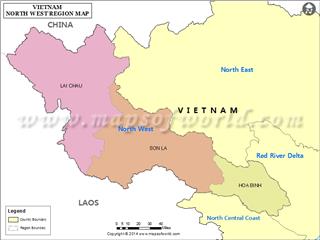
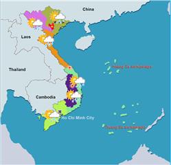
Phong Nha Ke Bang is located in Bo Trach and Minh Hoa district, Quang Binh province. The Park belongs to North Central Coast geography zone. It has the geographical coordinates from 17°21' to 17039' north latitude and from 105°57' to 106°24' east longitude. It is away from Dong Hoi city 50 km to the northeast and Hanoi capital 500 km to the north.
Phong Nha Ke Bang terrain
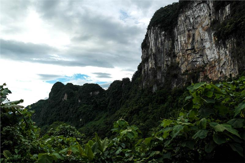
Phong Nha Ke Bang National Park has the complex geological structure during the development of the Earth's crust in Ordovician period. This created three kinds of terrain and geomorphology in the Park. The first type is the low and rounded mountains with the abrasive shelf geology of soil along the valleys of Son River and Chay River. Another kind of Phong Nha Ke Bang topography is Karst tectonics characterized by the ancient tropical Karst mainly from the Paleozoic era. However, two third of Karst is from the Cenozoic era. Karst tectonic processes created a variety of landscapes including underground rivers and marvelous caves. A system of majestic caves in Phong Nha was formed by the process of tectonic fractures, followed by the physical and chemical weathering processes. In details, this land has oldest caves in ASEAN with a network of over 300 caves. These caves were formed 35 million years ago. According to British Cave Research Association (BCRA), a network of caves in Phong Nha Ke Bang has four world's leading values which are having the longest underground rivers, the widest and tallest cave entrances, the most beautiful and widest sands, and the most beautiful stalactites. In comparison with Gunung Mulu National Park in Malaysia, Puerto Princesa Subterranean River National Park in Palawan, Philippines, and Lorentz National Park in the west of Irian, Indonesia recognized by UNESCO as the World Heritages, Phong Nha Ke Bang National Park is older and has more complex geological structure and more diverse in a system of underground rivers.
Phong Nha Ke Bang weather
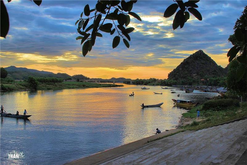
Like other regions in North Central Coast in general and Quang Binh in particular, the climate of Phong Nha Ke Bang has typical features of the tropical monsoon climate. The annual average temperature is 23 - 25°C with the highest number of 410C in summer and the lowest one of 60C in winter. The hottest time in a year is from June to August having the average temperature of 28°C. From December to February, the average temperature is 18°C. The annual average rainfall is 2,000 - 2,500 mm with 88% the rainfall concentrated from July to December. There are over 160 rainy days each year. The relative humidity is about 84%.
Phong Nha Ke Bang hydrology
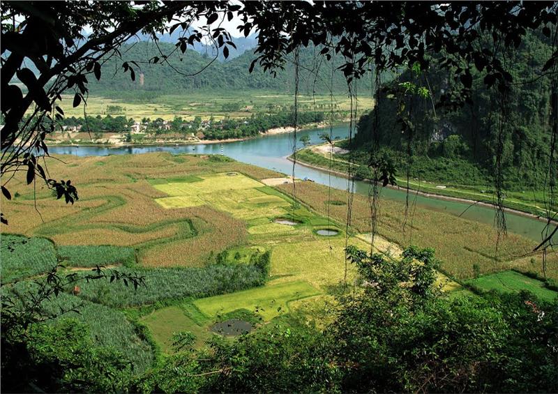
Apart from cave system, Phong Nha Ke Bang also has the longest underground rivers. The characteristics of Karst topography created a complex system of rivers. Three main rivers in the Park are Chay River, Son River and Trooc River. The water supply for these rivers is the underground rivers and streams. The three rivers flow into Gianh River and then flow out to the South China Sea. The water of Chay River has green color because of having Ca(HCO3)2 and other mineral with the high concentration. In addition, the National Park also has a dozen of beautiful streams and waterfalls such as Thac Gio (Wind Waterfall), Me Loan Waterfall, Moc stream, Tra Ang stream, etc.
