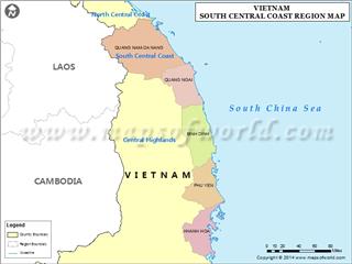
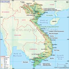
With regard to Binh Dinh geography, the province is located in South Central Coast Vietnam having the diverse types of terrains and a dense system of streams and rivers. In terms of weather, the province is influenced by the tropical monsoon climate.
Area: 6,050.6 sq. km
Administration: Quy Nhon City, An Nhon Town, Hoai Nhon Town, An Lao District, Hoai An District, Phu Cat District, Phu My District, Tuy Phuoc District, Tay Son District, Van Canh District, Vinh Thanh District
Binh Dinh geographical position
Binh Dinh shares borders with Quang Ngai province in the north, Phu Yen province in the south, Gia Lai province in the west and the South China Sea in the east. The four extreme points of the province includes:
The North Pole: 14°42'10'' north latitude and 108°55'04'' east longitude
The South Pole: 13°39'10'' north latitude and 108°54'00'' east longitude
The West Pole: 14°27' north latitude and 108°27' east longitude
The East Pole: 13°36'33'' north latitude and 109°21' east longitude
Binh Dinh terrain
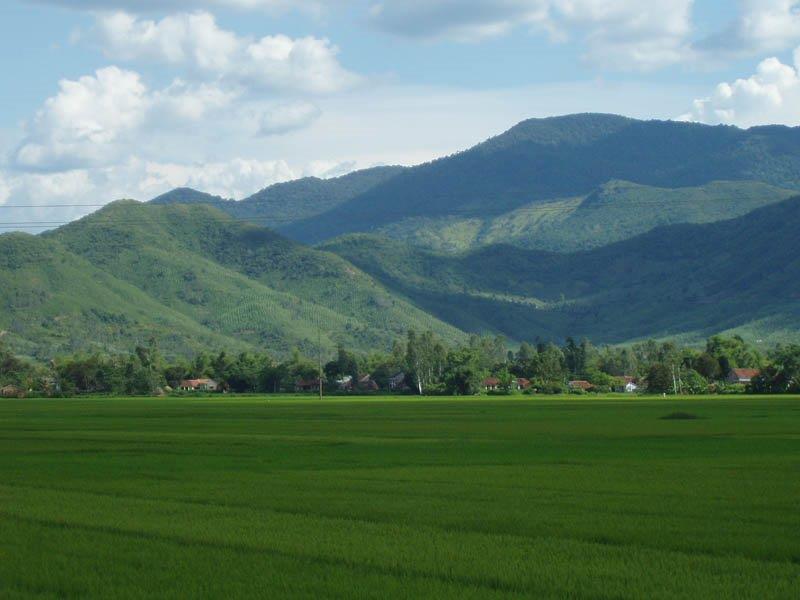
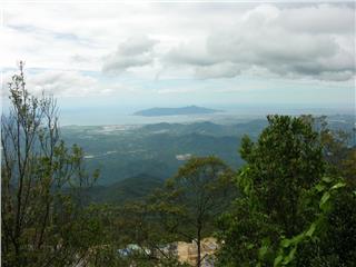
Binh Dinh topography is quite complex and gradually lower from the west to the east. The common terrains of this province are high mountains, low hills interspersed with narrow valleys and coastal plains. Following are three main types of Binh Dinh terrain.
Mountains: Mountainous areas are located in the northwest and the west of the province. The topography in this region is strongly intersected having the total area of 249,866 ha (accounted for 70% the total area of the province). The average elevation of the region is 500 - 1,000 meters having more than 11 peaks with the height of over 1,000 meters and 13 peaks with the height of 700 - 1,000 meters. In particular, the highest peak is located in An Toan commune (An Lao District). Mountains in Binh Dinh often run in the direction from the north to the south. They are distributed in some districts including An Lao (63,367 ha), Vinh Thanh (78,249 ha), Van Canh (75, 932 ha), Tay Son and Hoai An (31,000 ha). Many mountains are adjacent to the sea forming limestone along the coast and narrow strips of sand. This features formed a system of low mountains interspersed with sand dunes and lagoons.
Hills: Hilly regions are the junction between the western mountainous areas and the eastern plains. Hilly regions has the area of 159,276 ha (10% the total area), the height of less than 10m, and the relatively large slope from 100 to 150. This kind of terrain appears in Hoai Nhon District (15,089 ha), An Lao District (5,058 ha) and Van Canh District (7,924 ha).
Plains: In fact, plains in Binh Dinh are quite small, which are formed by geographical factors such as terrain and climate. These plains are usually located in the river basin or the coastal areas separated from sea by lagoons, sand hills and mountain range. The average height the region is 25 - 50 meters with the total area of 1,000 km2. The largest delta of Binh Dinh is located in Kon River downstream. The rest is small plains distributed along rivers, foothills and coastal areas.
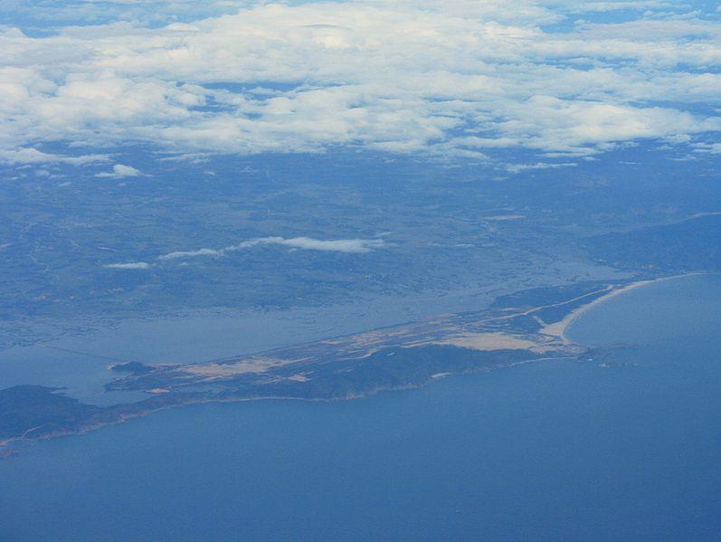
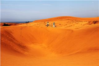
Coastal areas: The coastal areas contain sand dunes running along the coast with the average width of 2 km. The shape and the size of these dunes change over time. Besides, there are a plenty of lagoons (Tra O, Nuoc Ngot, My Khanh, Thi Nai), bays (Lang Mai, Quy Nhon, Vung Moi) and estuaries (Tam Quan, An Du, Ha Ra, De Gi, Quy Nhon) in this region.
Binh Dinh weather

Binh Dinh climate is the humid tropical monsoon climate. Due to the complexity of the terrain, the monsoon winds will change the direction and the intensity when appearing in the province.
Temperature: The average temperature in the mountainous area is 20.1 - 26.1°C with the highest number of 31.7°C and the lowest one of 16.5°C. In the coastal areas, the average temperature reaches 27°C with the highest of 39.9°C and the lowest of 15.8°C.
Humidity: The average absolute humidity per year is 22.5 - 27.9% in mountainous areas and 27.9% in coastal areas. Besides, the average relatively humidity is 79 - 92% on mountains and 79% in coastal areas.
The rainfall regime: Rainy seasons begin from September to December. In mountainous regions, there is an additional rainy season lasting from May to August under the influence of the rainy season in Central Highlands. Dry seasons in Binh Dinh last from January to August. The annual average rainfall of mountainous districts is 2,000 - 2,400 mm, and in coastal regions is 1,751 mm. The rainfall tends to decrease gradually from mountainous regions to coastal areas and from the northwest to the southeast.
Storms: Belonging to South Central Coast geography, Binh Dinh often undergoes many storms each year. The frequency of storms concentrated from September to November.
Binh Dinh hydrology
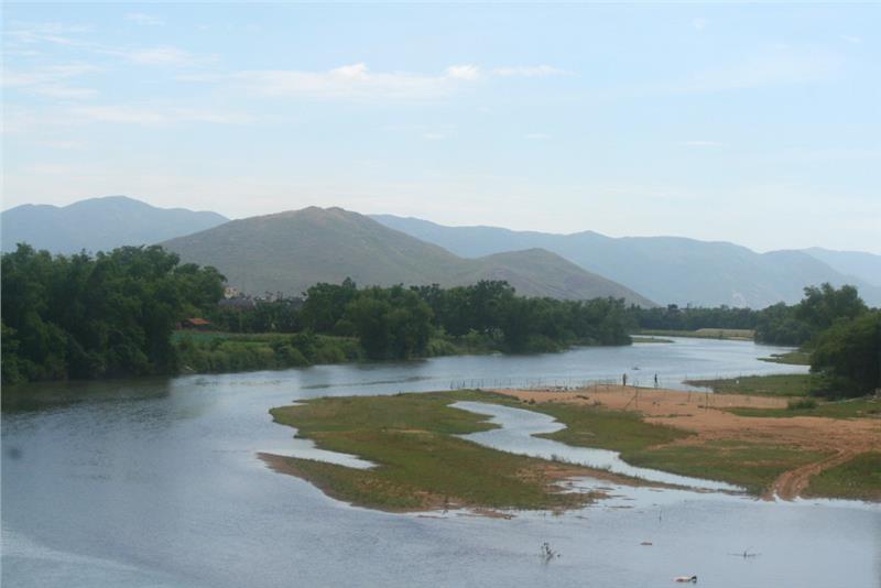
Rivers in Binh Dinh province are derived from the high mountains of the eastern slope on the Annamite Mountains. Rivers are small and short having the steep slopes and the low silt concentration. The total reserve of water is 5.2 billion m3 and the hydropower potential is 182.4 million KW. There are four big rivers in the province which are Con River, Lai Giang River, La Tinh River, and Ha Thanh River and some other small rivers including Chau Truc River and Tam Quan River. Apart from these rivers, the province also has a dense system of streams.
In addition, Binh Dinh has a variety of artificial lakes built for irrigation purposes in dry seasons. Some large lakes in Binh Dinh are Hung Long Lake (An Lao), My Binh Lake (Hoai Nhon), My Duc Lake, Thach Khe Lake (Hoai An), Nui Mot Lake ( Van Canh - An Nhon), etc. Besides, Tra O Lagoon is a large freshwater of Binh Dinh. The province has two brackish water lagoons including De Gi (Phu My - Phu Cat) and Thi Nai (Tuy Phuoc, Quy Nhon) as well. The system of Binh Dinh hydrology creates a favorable conditions for developing agriculture and fishery. Especially, Thi Nai Lagoon is very suitable for developing national seaport and contributing to promote Nhon Hoi economic zone.
