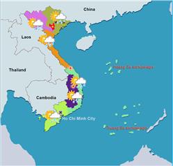
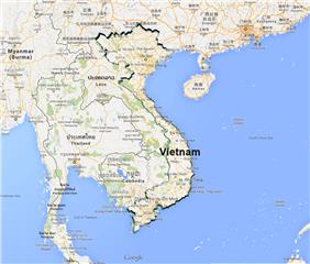
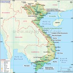
With regard to Binh Thuan geography, the province has a variety of natural conditions which are suitable for developing economics in field of agriculture, forestry, fishery, and livestock.
Area: 7,812.9 sq. km
Administration: Phan Thiet City, La Gi Town, Tuy Phong District, Bac Binh District, Ham Thuan Bac District, Ham Thuan Nam District, Ham Tan District, Tanh Linh District, Duc Linh District, and Phu Quy District
Binh Thuan geographical position
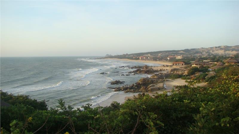
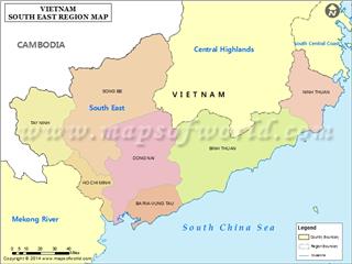
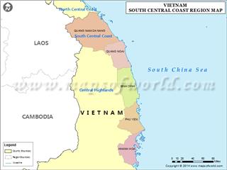
Binh Thuan belongs to South Central Coast geography. The province has the geographic coordinates from 10033'42'' to 11033'18'' north latitude and from 107°23'41'' to 108°52'18'' east longitude. Binh Thuan shares borders with Lam Dong Province in the north, Ninh Thuan Province in the northwest, Ba Ria - Vung Tau on the southwest and the South China Sea in the east and the south.
Binh Thuan terrain
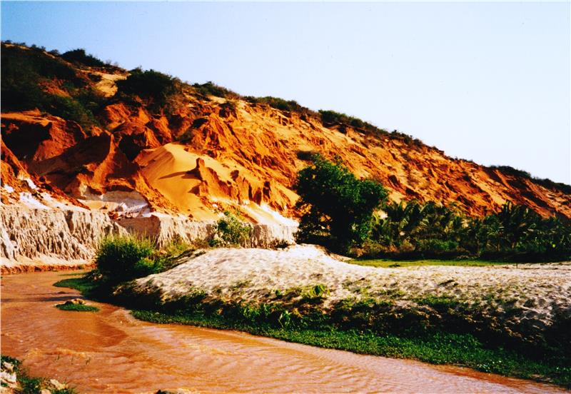
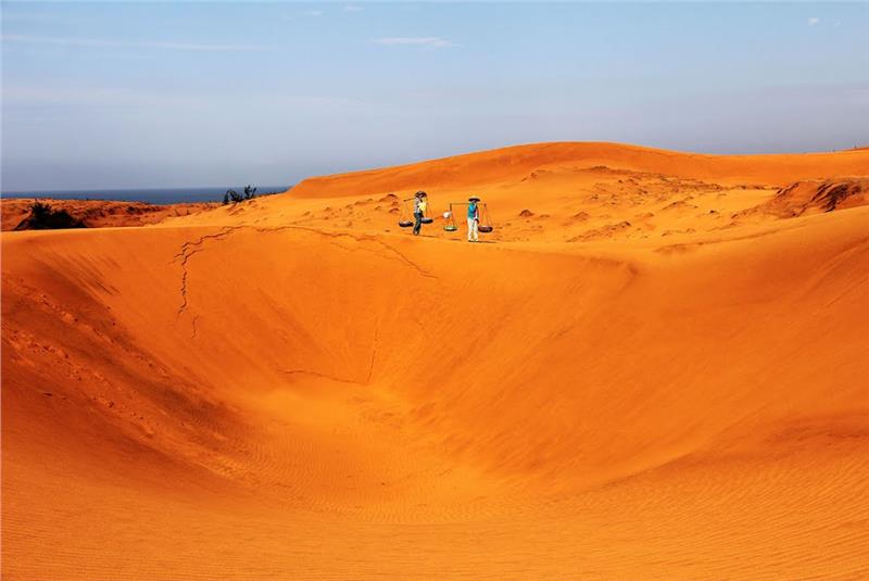
Binh Thuan terrain can be divided into four main types including coastal dunes (18.22%), alluvial plains (9.43%), hilly areas (31.65%), and low mountainous areas (31.65%). The coastal dunes are distributed along the coast from Tuy Phong district to Ham Tan district. The largest dune is situated in Bac Binh district with 52 km in length and 20 km in width. The alluvial plains are formed by sediments of rivers and canals including Tuy Phong (Long Song River), Phan Ri, Mao (Luy River), Phan Thiet (Quao River, Ca Ty River), La Nga (Duc Linh, Tanh Linh). The low mountainous area is concentrated in the north and the northwest of the province. These mountains run in the direction from the northwest to the southeast having the steep slope and complex terrain. The hilly regions are a transitional form in the elevation level of the low mountain.
Binh Thuan weather
Located in the tropical monsoon climate, Binh Thuan weather has a plenty of sunny and windy. This is the driest place in Vietnam. Binh Thuan is classified into two distinct seasons including rainy seasons and dry seasons. Rainy seasons last from May to October while dry seasons last from November to April. The annual average temperature is 26 - 27°C. The average rainfall is 800 - 1,600 mm per year. The relatively humidity is 79% per year.
Binh Thuan river system
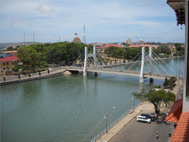
Rivers in Binh Thuan are quite short with the irregular amount of water flow. Many rivers derived from Di Linh Plateau (Lam Dong province) have flowed through the territory of the province. In general, the total length of rivers in Binh Thuan is 663 km. Some main rivers in the provinces are Ca Ty (76km), La Nga (74 km), Quao (63 km), Long Song (43 km), Phan (40 km), Mao (29 km) and Luy (25 km).
