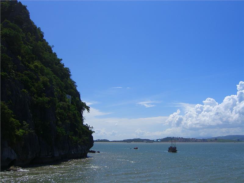
Cat Ba Island was recognized as the World's Biosphere Reserves by UNESCO in 2005. Thanks to the favor of Cat Ba geography and nature, the land has many beautiful landscapes which are very favorable for developing tourism.
Area: about 300 sq. km
Administration: Cat Ba Town, Gia Luan Commune, Hien Hao Commune, Phu Long Commune, Tran Chau Commune, Viet Hai Commune, Xuan Dam Commune
Cat Ba geographical position
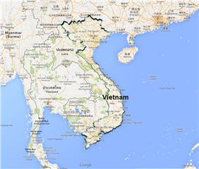
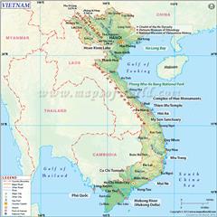
Cat Ba Island belongs to Cat Hai District, Haiphong City. The island has the geographic coordinates from 106°52' to 107°07' east longitude and from 20°42 to 20°54' north latitude. Cat Ba is far from Hai Phong city 45 km to the east, Halong City 25 km to the south and Hanoi capital 150 km to the southeast. The Island shares borders with Halong Bay (Quang Ninh province) in the north, Cat Hai Island (Cat Hai district, Hai Phong City) in the west, and the South China Sea in the east and the south.
Cat Ba terrain
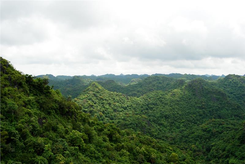
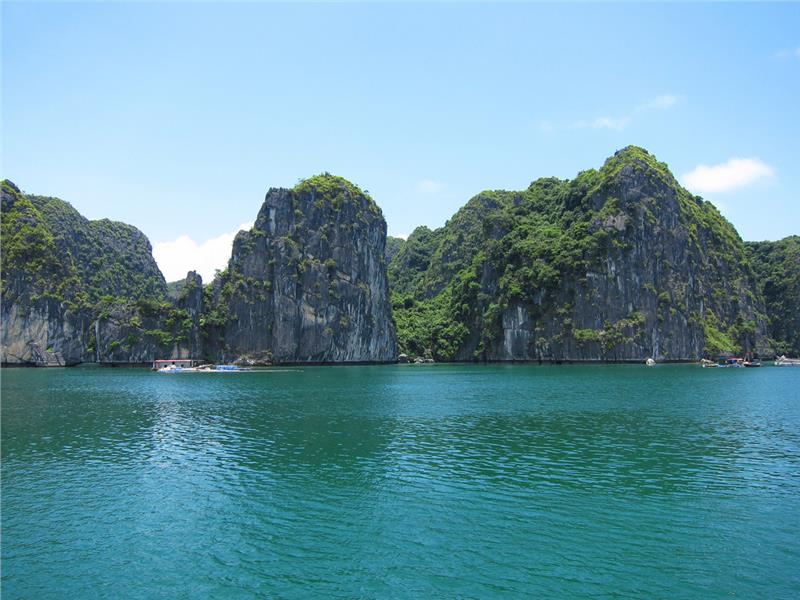
Cat Ba terrain is characterized by the rugged mountainous areas with the altitude of less than 500 meters. These mountainous areas have 50 to 200 meters in height accounted for the large area proportion of the whole island. The topography in Cat Ba tends to be high in the northwest and low in the southeast. Karst topography is the popular terrain can be seen in Cat Ba Island. This topography is typical for limestone areas in general. Due to the solubility of limestone of Karst processes, a plenty of Karst caves are formed, including Tien Duc cave, Da Hoa Gia Luan cave, Trung Trang cave, etc. These caves have the large depth and width. Besides, Karst valleys also were established interspersing with limestone. Some typical valleys are Trung Trang and Hien Hao. In general, Cat Ba is the beautiful and romantic island located at the average height of 70 meters above the sea level. The lowest place in the island is Ang Tom, which is lower than the sea level 10 - 30 meters. The highest point is Cao Vong located in the north of the island with 331 meters in height.
Apart from having 367 small islands, Cat Ba is one of few places in Red River Delta geography zone having the diversity in ecosystem including tropical rain forests, mangroves, coral reefs, cave ecosystems, virgin forest and so on. Especially, Cat Ba National Park is another highlighted feature of the Island. Cat Ba National Park is a special-use forest in Vietnam, which has the relatively high biodiversity.
Cat Ba weather
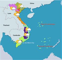
Cat Ba weather is influenced by the tropical monsoon climate, the southwest winds in summer and the northeast monsoon winds in winter.
Temperature: The Island has two seasons in one year including hot seasons from May to September and cold seasons from November to March. The annual average temperature in the Island is 23oC. The hottest time in a year is in July with the average number of 28 - 29°C. On the other hand, the coldest time is in January with the number of 16 - 17°C.
Humidity: The annual average humidity is 85% with the lowest number of 76% in January and the highest number of 91% in April.
Rainfall: about 1,700 to 1,800 mm per year. The rainy season lasts from April to November, mainly concentrated in July and August.
